What's Hot: Restaurants, Recreation Venue in the Works as Art Place Seeks More Time for Final Phases
 Drawing the Line: Capitol Hill
✉️ Want to forward this article? Click here.
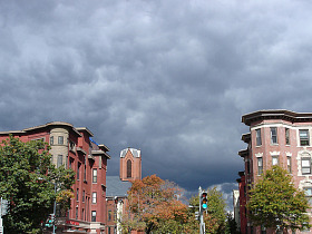
Capitol Hill by Kyle Walton
The exact boundaries of DC neighborhoods are a hotly debated topic, particularly amongst long-time residents who resist any re-interpretation that cuts their hood short by even one block.
For homebuyers, the boundary issue can be particularly crucial. With the exact borders often in question, buyers can be left thinking that they’re looking at property in one neighborhood when it is technically in another. Drawing The Line will discuss the boundaries of various DC neighborhoods, the restoration societies that govern them, and the issues that can arise as a result of a regular misinterpretation of the borders. Today, we look at Capitol Hill.
The Capitol Hill Restoration Society (CHRS) is considered the objective source for the official boundaries of Capitol Hill, as well as what standards should be used in historic and cultural preservation. According to the CHRS, the current extents of Capitol Hill are bounded by the Capitol precinct on the west, F Street NE on the north, 13th and 14th Streets on the east, and the Southeast Freeway on the south, with an expansion area south of the Southeast Freeway bounded by 7th, M, 10th, and 11th Streets SE.
Like many neighborhoods in DC, Capitol Hill is an area where the boundaries can expand to suit the needs of real estate agents and home sellers. “People looking to buy tell me that they ‘want to live on the Hill,’” Long and Foster’s Justin Paulhamus told UrbanTurf. “If they find a place that’s advertised as such, but then find out that is actually in Hill East they might feel like they were misled.”
Paulhamus notes that realtors sometimes use the public’s lack of knowledge about the official boundaries as an opportunity to puff up their listing – which is unethical. “It’s incumbent upon other agents to call agents out on including such misleading information,” Paulhamus explained. “Also, any consumer can file a complaint with the DC Real Estate Commission.” That said, there has been little crack down on agents who improperly mislabel a property’s neighborhood in hopes of a higher sale price.
Areas around Stadium/Armory, H Street, and Hill East are often described as being located in Capitol Hill, despite the fact that none fall within the neighborhood’s official boundaries. Paulhamus notes that it takes time to build a good reputation like the one Capitol Hill has developed over the years, and agents have taken liberties as a result of amenities being added into neighboring areas that they now suggest is Capitol Hill.
However, as areas like the H Street Corridor, just to the north of Capitol Hill, experience resurgent reputations, it is likely that these neighborhoods will stand alone, with their own names and identities. Other neighborhoods will take longer. Paulhamus says it is likely that the Rosedale, Trinidad and Benning Road areas will see spillover development as a result of the streetcar, potentially further extending the boundaries of Capitol Hill until these neighborhoods develop more attractive reputations.
See other articles related to: capitol hill, drawing the line
This article originally published at https://dc.urbanturf.com/articles/blog/drawing_the_line_capitol_hill/2134.


UrbanTurf Listings showcases the DC metro area's best properties available for sale.

Most Popular... This Week • Last 30 Days • Ever

In this edition of First-Timer Primer, we look into the question of how to determine ... read »
This is one of the more intriguing adaptive reuse proposals of the year.... read »
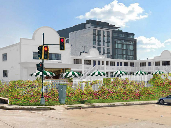
The developer wants to transform the 1960s motor lodge into "Union Market Cabanas" �... read »
This week we bring back What X Buys You as UrbanTurf takes a look at how far an $850,... read »
The Archdiocese of Washington is asking DC's Board of Zoning Adjustment to sign off, ... read »


- First-Timer Primer: Is This Condo Building Financially Healthy?
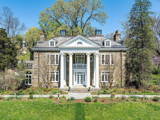
- The Plan To Turn A Rock Creek Park Estate Into A Suburban-Style Pool and Tennis Club
- From Motel 6 to "Union Market Cabanas": Interim Plans Filed for Union Market Site
- How Far $850,000 Goes In The DC-Area Housing Market
- Archdiocese Seeks to Revive 80-Townhome Plan In North Michigan Park
DC Real Estate Guides
Short guides to navigating the DC-area real estate market
We've collected all our helpful guides for buying, selling and renting in and around Washington, DC in one place. Start browsing below!
First-Timer Primers
Intro guides for first-time home buyers
Unique Spaces
Awesome and unusual real estate from across the DC Metro