 The Community that Became Sursum Corda in DC
Last fall, UrbanTurf took a look at the interesting alley dwelling networks uncovered in a century-old survey conducted in the District. Now, we have a glimpse at what some of those communities looked like.
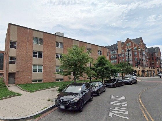
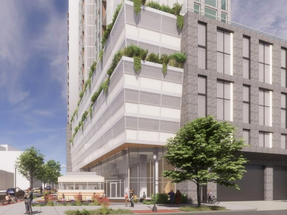
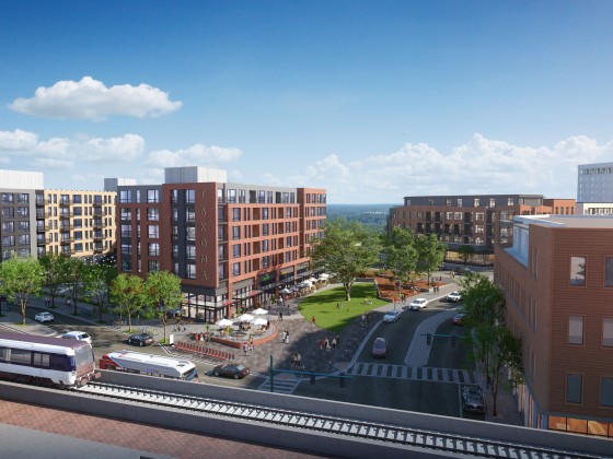
The Library of Congress has a repository of digitized photographs taken around DC in the 1930s, and a particular series by photographer Carl Mydans highlights a community straddling North Capitol Street, the west half of which was replaced by the Sursum Corda Cooperative in the late 1960s. The Sursum Corda community was recently razed and there are plans in the works to construct a mixed-income, mixed-use development on the site with over 1,100 housing units.
Check out a few of Mydans's images below.
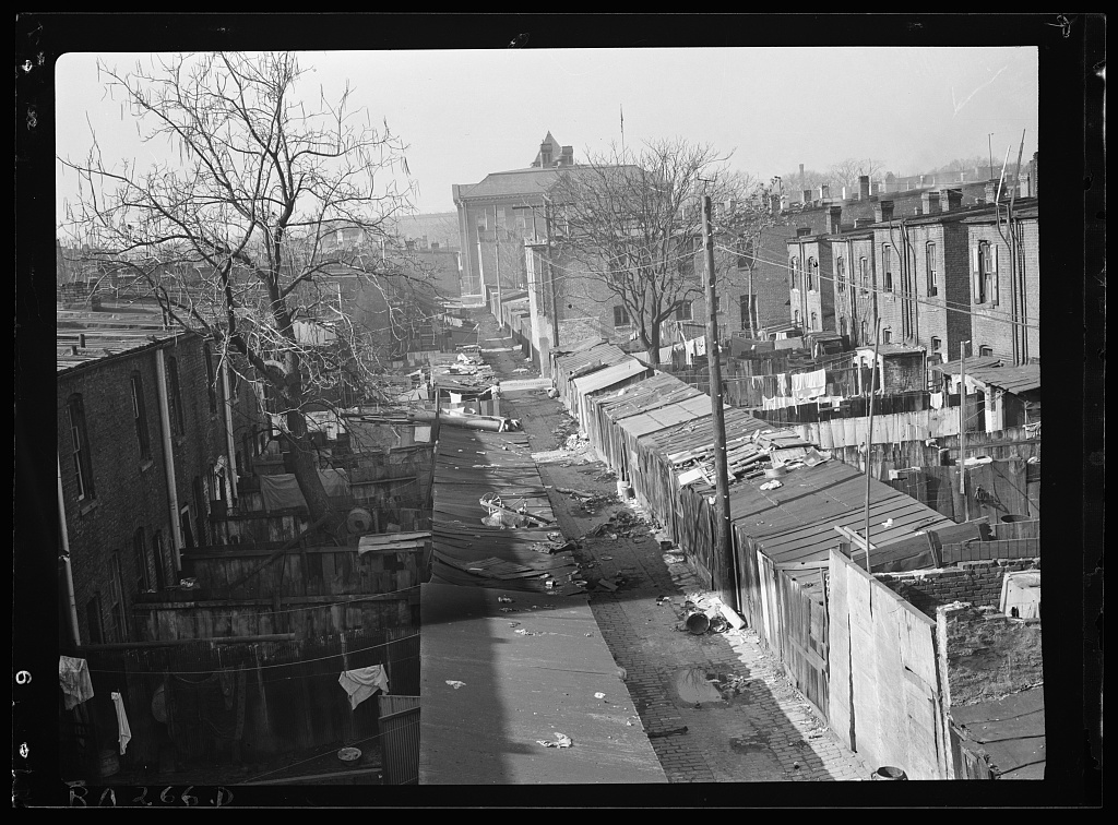
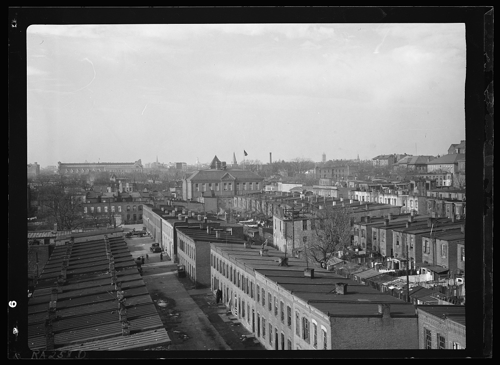
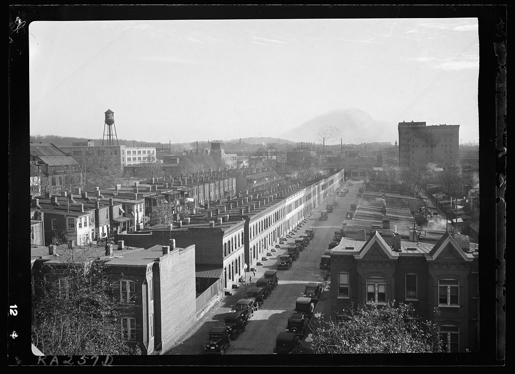
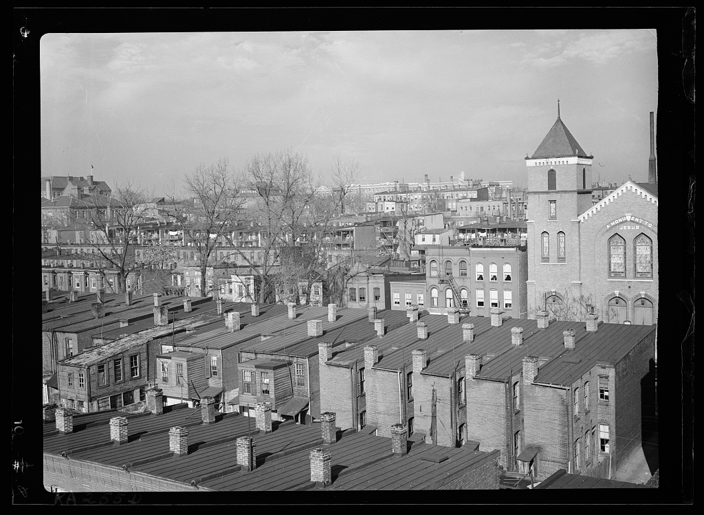
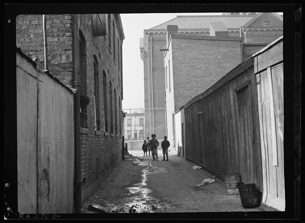
All photos courtesy of Library of Congress, Prints & Photographs Division, FSA/OWI Collection.
See other articles related to: alley dwellings, alleys, dc history, history, photography, sursum corda
This article originally published at https://dc.urbanturf.com/articles/blog/the-community-that-became-sursum-corda/15123.


UrbanTurf Listings showcases the DC metro area's best properties available for sale.

Most Popular... This Week • Last 30 Days • Ever

DC's homebuyer assistance programs can be a bit complex. This edition of First-Timer ... read »
When it comes to financing a home purchase, a 30-year mortgage is one of the most com... read »
Pocket listings are growing in popularity in the low-inventory market in the DC regio... read »
Margarite is a luxury 260-apartment property known for offering rich, high-end reside... read »
The owner of 700 Monroe Street NE filed a map amendment application with DC's Zoning ... read »


DC Real Estate Guides
Short guides to navigating the DC-area real estate market
We've collected all our helpful guides for buying, selling and renting in and around Washington, DC in one place. Start browsing below!
First-Timer Primers
Intro guides for first-time home buyers
Unique Spaces
Awesome and unusual real estate from across the DC Metro